How the coloured layers formed under water
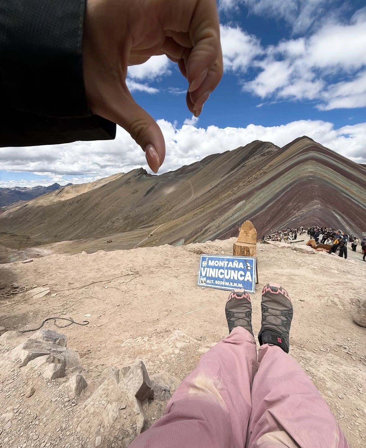
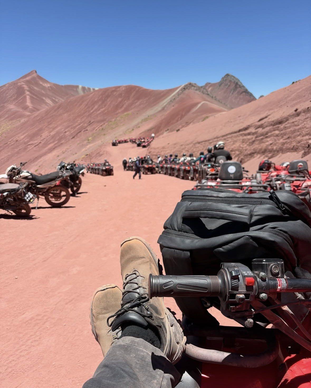
Rainbow Mountain (Vinicunca) began as sediment on the floor of water that once covered this part of the Andes. Those deposits date from the Tertiary and Quaternary periods, roughly two million years ago, and movement of the area's tectonic plates later lifted the marine, lake and river material until it stood as mountains. The result sits in the Vilcanota range, inside the Ausangate massif. Its officially catalogued altitude is 5,036 metres (16,522 ft) above sea level, while the Cusipata entry-registration platform and Peru's state news agency both put the site's highest point at 5,200 m. The mountain straddles Cusipata district in Quispicanchi province and Pitumarca district in Canchis province, on the road toward Ausangate.
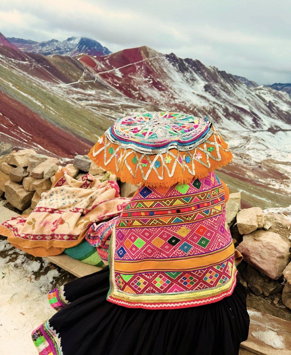
Glacier caps hid the stripes for as long as the ice lasted, and it melted away by around 2013, leaving the bare coloured strata exposed to rain, frost and sun. What visitors photograph today is a young surface on very old rock. The slopes and the access points belong to peasant communities: Chillihuani on the Cusipata side in Quispicanchi, and Pampachiri on the Pitumarca side in Canchis. Community members control entry and also work the mountain as guides and muleteers. Vinicunca straddles both districts and both provinces, so the two routes up are managed separately. There is no official visitor centre on the mountain, no published postal address and no official telephone line, which is why practical details come from the municipalities and from operators.
Why the Mountain Is Striped
Each band is a different rock with its own mineral content. The red layers are iron-bearing claystones and clays of Upper Tertiary age. The mustard-yellow bands are calcareous sandstones rich in sulphur minerals. Green comes from phyllites and clays rich in ferromagnesian minerals, a mineral colour that first-time visitors usually read as grass. Pink and fuchsia come from red clay, mud and sand; white and cream are quartzose material, sandstone and marls rich in calcium carbonate; the earthy brown is Quaternary fanglomerate containing magnesium-bearing rock. Peru's tourism board attributes the intensity of the colours to mineral oxidation driven by humidity, combined with erosion that stripped away the covering layers.
Access has been run by the communities since the first visitors arrived. Both routes are reported to operate from 6:00 am to 5:00 pm, a ticket is valid only on the route where it was issued, and one Cusco operator states that visitors are admitted to the trail only until 2 pm. None of those hours appears on a government page, so confirm the cut-off with the operator before you commit to a late start. The rules on the mountain itself are short: stay on the marked trail, leave the apachetas (sacred stone cairns) alone, carry your rubbish out, no drones without a permit, no leaning over edges for a photograph. The site is open every day of the year apart from exceptional closures for natural disasters or social conflict, and any closure is decided jointly by the Pitumarca and Cusipata municipalities with the regional tourism office.
The altitude is what makes this walk hard. The Cusipata route starts at the Phulawasipata parking area at about 4,650 m and climbs roughly 400 to 600 m to the viewpoint, with a round trip of 6 to 7 km (3.7 to 4.3 miles). Allow 2 to 3 hours up and 1.5 to 2 hours down; Peru's state agency puts the ascent at 90 to 120 minutes. Cusco stands at 3,399 m (11,150 ft), and the CDC advises mild exercise only and no alcohol during the first 48 hours at altitude, plus an extra acclimatisation night for every 1,000 m of sleeping-altitude gain. Peru's tourism board calls acclimatising essential before attempting Vinicunca. Horses, where a tour mentions them, stop short of the top: the final steep section and the staircase are walked.
Key Facts and Dates Behind Vinicunca
5,036 m
Officially catalogued altitude, 16,522 ft above sea level
5,200 m
Highest point of the site according to the Cusipata entry platform
two million years
Approximate age of the Tertiary and Quaternary coloured sediments
2013
By around this year the glacier cap had melted, exposing the bands
March 2018
Metallic mining concession of about 400 hectares granted, renounced in May
2019
Creation of the Ausangate Regional Conservation Area
How Vinicunca Became the Region's Second Most Visited Site
Mass tourism arrived in the mid-2010s, within a couple of years of the ice disappearing. Vinicunca now ranks second in the Cusco region after the Inca citadel of Machu Picchu, taking up to 1,500 visitors a day in high season and around 600 a day in low season; Peru's state agency reports figures of up to 2,000 a day since it opened. That volume has shaped the rhythm of the day. Colours read strongest between 5 and 10 in the morning, while foot traffic at the viewpoints peaks between 9:30 am and midday, when the standard Cusco buses converge on the same ridge. A departure that leaves Cusco in the small hours puts you on the ridge inside the quieter window.
The mountain's biggest crisis came quickly. In March 2018 a metallic mining concession covering about 400 hectares, including the whole mountain, was granted. Protests followed, the company renounced the concession in May 2018, and a 12-month mining moratorium was put in place. The Ausangate Regional Conservation Area was created in 2019. Vinicunca is not part of the Cusco Tourist Ticket either: the S/130 integral version of that pass covers only three circuits of city, Valle Sur and Sacred Valley sites, so entry to the coloured mountains sits outside it entirely. Tours on this site state clearly whether the Vinicunca entrance is included, and only one of them includes it.
Two quieter coloured mountains opened in Vinicunca's wake. Palccoyo, in Checacupe district, was opened to tourism in 2018, tops out at 4,971 m and needs a walk of 45 to 60 minutes to the summit. Pallay Punchu, on the border of Layo and Marangani districts, rises above 4,700 m with operators working the slope between about 4,700 and 4,900 m, takes 45 minutes to an hour on foot, and shows close to 250 million years of geological formation in its jagged rock. Cusco's regional tourism authority reported that the two together receive up to 70 tourists a day. Operators rank round-trip hiking at 3 to 4 hours for Vinicunca, 2 to 3 hours for Palccoyo and 1 to 2 hours for Pallay Punchu.
Rainbow Mountain (Vinicunca) Today
A standard day from Cusco starts in the dark. Pickups run from about 3:00 to 4:30 am, with 4:00 am typical, operators warn that the pickup can shift by 30 to 45 minutes, and the whole day runs about 12 to 14 hours with a return to Cusco around 5 to 6 pm. The Cusipata route totals 109 km from Cusco; via Pitumarca the drive is about three hours, passing Andahuaylillas, Quiquijana and Checacupe, with the walk starting in the community of Qheshiuno. May to October is the dry, recommended window named by Peru's state agency, widened by operators to April through October with May to September as the best months. November to April brings rain and snow that can cover the bands.
Weather still decides the day. In February 2026 authorities evaluated a temporary suspension of visits after heavy rain and snowfall, with damage reported to access bridges. Rainfall near Cusco runs 153.4 mm in January against 3.3 mm in June, and mean daily minima at Cusco airport (3,249 m) fall to 1.2 °C in July, so dry-season dawns are cold even when the sky is clear. On the mountain the air is thin, the sun is intense and temperatures can drop sharply, which means layers and sun protection in every month. Reputable operators send a first-aid-trained guide carrying bottled oxygen. Give yourself 48 to 72 hours in Cusco first, then pick a departure that puts you on the ridge before the mid-morning buses.