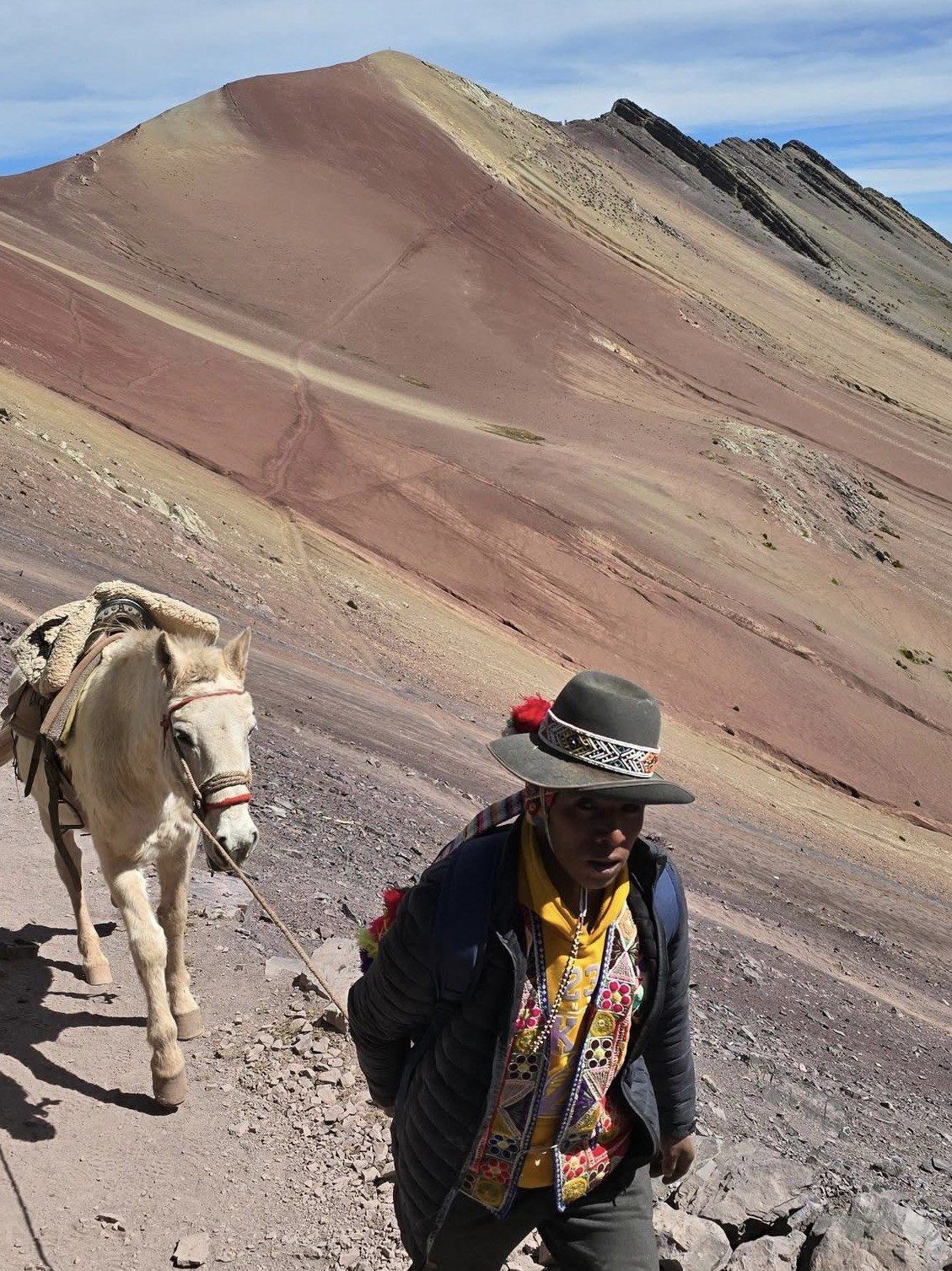
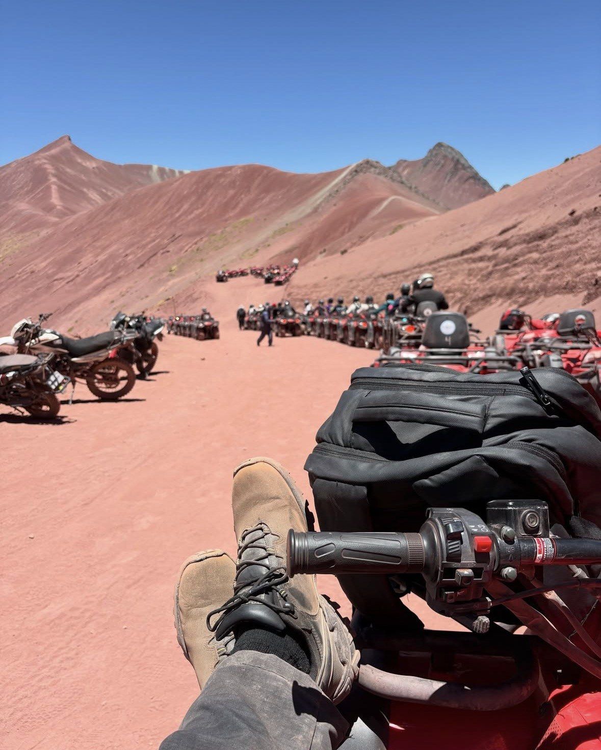
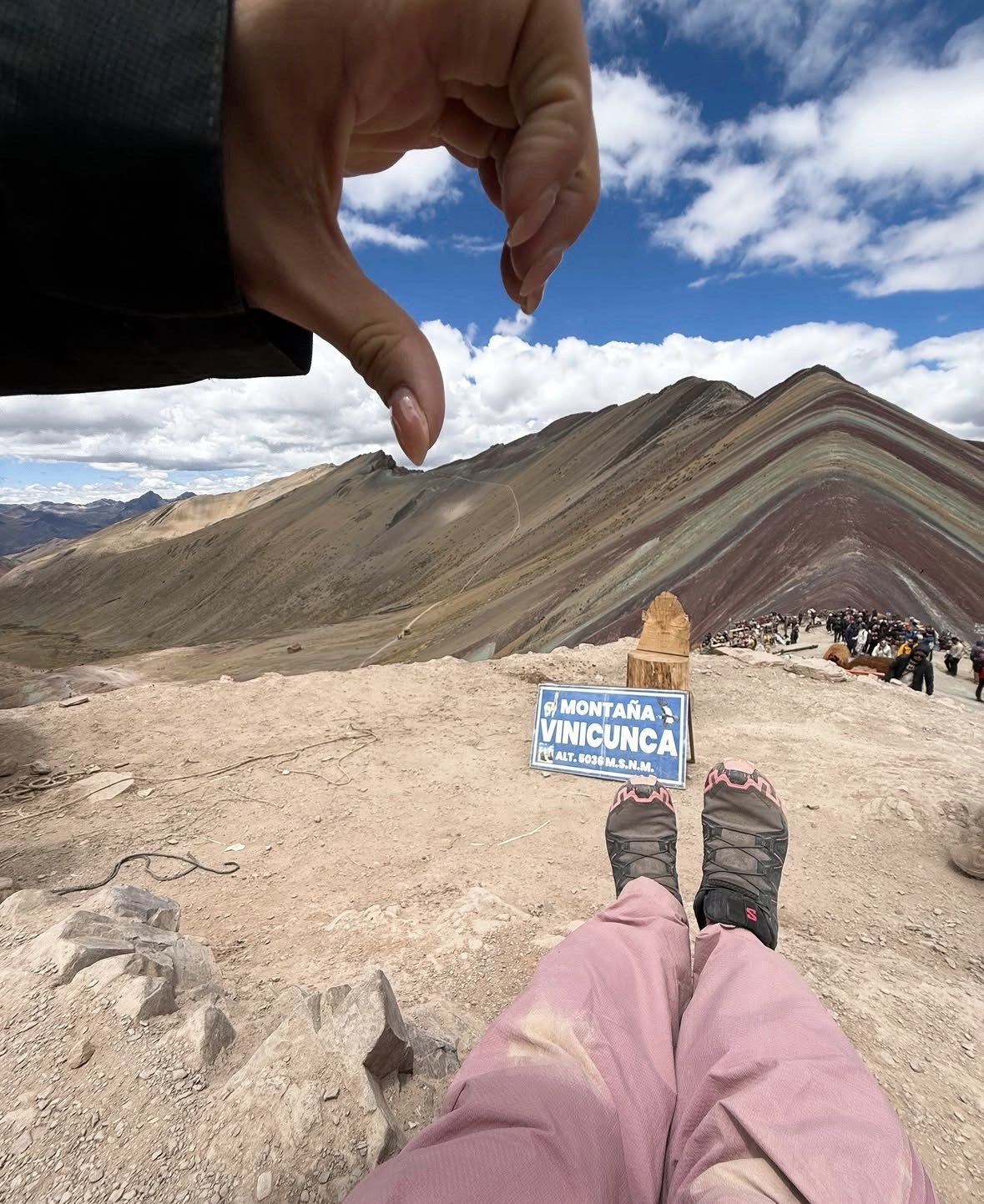
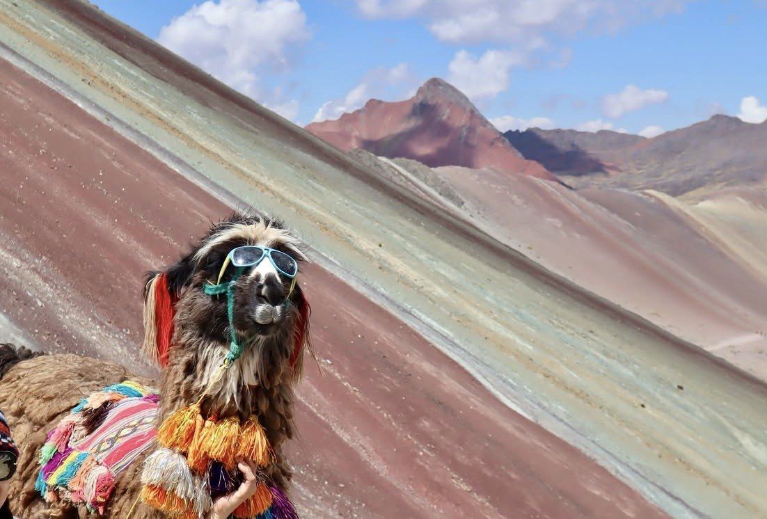
Vinicunca stands in the Cordillera Vilcanota southeast of Cusco, inside the Ausangate massif, with road access from two separate districts. Most people hear the nickname long before they work out where it sits.
Updated 20 October 2026
In shortRainbow Mountain, properly called Vinicunca, lies a little over 100 kilometres southeast of the city of Cusco, in the Vilcanota range within the Ausangate massif. It straddles two districts and two provinces: Cusipata in Quispicanchi on the west side, Pitumarca in Canchis on the east. The Cusipata road route totals 109 km from Cusco.
109 kmCusipata route from Cusco
5,036 m (16,522 ft)catalogued altitude
2 districts, 2 provincesCusipata and Pitumarca
up to 1,500 a dayhigh-season visitors
Main viewpointViewpoints and nearby coloured mountainsVillages and access towns on the route
The mountain lies a little over 100 kilometres southeast of Cusco, reached either from Cusipata in Quispicanchi or from Pitumarca in Canchis.
Where Rainbow Mountain Is
Vinicunca belongs to the Cordillera Vilcanota, the glaciated range that runs southeast from Cusco, and sits inside the Ausangate massif within it. The Cusipata entry-registration platform places the site's highest point at 5,200 m above sea level in that massif, while official catalogues give the mountain 5,036 m (16,522 ft). The discrepancy has never been settled by a surveying authority, so both figures circulate.
The mountain sits on an administrative boundary. Cusipata District, in Quispicanchi province, covers the western flank; Pitumarca District, in Canchis province, covers the eastern flank, on the road that continues towards Ausangate. That split is the single most useful thing to know about the location, because each side is administered separately and admission issued on one route is reported to be valid only on that route.
Peru's state news agency describes the coloured mountains as lying a little over 100 kilometres southeast of the city of Cusco, in Canchis province. By road the Cusipata approach to the Phulawasipata trailhead totals 109 km. Driving time depends on the side you use: the shortest standard approach is roughly two hours behind the wheel plus a walk of about 5 km, while the Pitumarca side takes about three hours by car or tour bus, running through Andahuaylillas, Quiquijana and Checacupe before the walk starts at the community of Qheshiuno.
What The Rainbow Mountain Peru Map Actually Shows
The map on this page lays the geography out more clearly than any description. Cusco sits at the top left, the main highway runs southeast down the Vilcanota valley through Andahuaylillas, Quiquijana and Checacupe, and two separate side roads then climb east off it into the mountains. One turns up from Cusipata; the other from Pitumarca. Neither connects to the other near the mountain, so your route is decided before you leave the valley floor.
On the Cusipata side the road ends at the Phulawasipata parking area at about 4,650 m, which is where the walking begins. From there it is a 7 km round trip of roughly three hours to the viewpoint and back, climbing some 400 to 600 m. The Pitumarca side starts lower down at Qheshiuno, and the full round trip from either trailhead to the ridge and back runs 6-7 km (3.7-4.3 miles).
The viewpoint itself is a ridge rather than a summit platform, reached by a final steep section and a staircase. The Red Valley lies immediately alongside it, with its own separate viewpoint and its own community charge, which is why tours treat it as an optional extension decided on the day rather than part of the main walk.
Access side
District and province
Community in charge
Trailhead
Getting there from Cusco
West (Cusipata)
Cusipata District, Quispicanchi
Chillihuani
Phulawasipata, about 4,650 m
109 km by road; 7 km round-trip hike of about three hours
East (Pitumarca)
Pitumarca District, Canchis
Pampachiri
Qheshiuno
About three hours by car or tour bus via Andahuaylillas, Quiquijana and Checacupe
The classic full day from Cusco
This 12-hour trip from $22, rated 4.9/5 (4062 reviews), covers the drive, breakfast and lunch, walking sticks and oxygen assistance, with the Red Valley left as an option on the day.
Access is in the hands of two peasant communities rather than a national park service. Chillihuani, in Cusipata district, Quispicanchi, runs the western access point; Pampachiri, in Pitumarca district, Canchis, runs the eastern one. Community members also work as guides and muleteers on the trail.
There is nothing built up at either end of the road. No visitor centre, no published postal address, no official telephone number: the control point at the Phulawasipata trailhead is community-run, and the facilities are whatever the communities put there. Plan on carrying layers and sun protection in every month, because the air is thin, the sun is intense and temperatures can drop sharply.
Both routes are reported to operate from 6:00 am to 5:00 pm, and the site is open every day of the year apart from exceptional closures. One Cusco operator states that walkers are only admitted to the trail until 2 pm. None of this is published on a government page, so confirm the timing with your operator on the day. Closures do happen: in February 2026 the authorities were evaluating a temporary suspension after heavy rain and snowfall damaged access bridges, a decision taken jointly by the Pitumarca and Cusipata municipalities with the regional tourism office.
The Colours Only Appeared In The Last Decade
For most of recorded history there was nothing to see here. Glacier caps covered the striped slopes, and the ice had melted away by around 2013, leaving the coloured strata bare. Mass tourism followed in the mid-2010s, which is why older guidebooks to the Cusco region do not mention the place at all.
The attention arrived fast. A metallic mining concession of about 400 hectares covering the whole mountain was granted in March 2018 and renounced by the company that May after protests, followed by a twelve-month moratorium and the creation of the Ausangate Regional Conservation Area in 2019.
Nowhere in the Cusco region now draws more visitors than this stretch of the Vilcanota, except Machu Picchu, which lies in the opposite direction from the city. High season from May to October brings up to 1,500 people a day and low season around 600, with Peru's state agency reporting up to 2,000 a day since the site opened. By comparison, Palccoyo and Pallay Punchu together see up to 70 visitors a day. All of those people land on the same patch of ridge within the same few hours: the bands show their strongest colour between 5 and 10 in the morning, and the trail is at its fullest from 9:30 am to midday, when the standard departures out of the city reach the trailhead together.
What This Location Means For Your Day
The geography adds up to a long day trip out of Cusco at serious altitude, with a drive of two to three hours at each end and a walk in between. Covering that distance in time for the morning colour means leaving the city in the dark: hotel pickups run from about 3:00 to 4:30 am, with 4:00 am the usual slot, and operators warn the time can slide by 30 to 45 minutes. The whole thing runs about 12 to 14 hours.
The altitude is what makes the day hard. Your base in Cusco already sits at 3,399 m (11,150 ft), and the ridge at the end of the drive stands well above that. Where you sleep in the nights beforehand therefore counts as much as which road you take: the CDC wants two to three nights at around 2,450 to 2,750 m before you go higher, mild exercise only over the first 48 hours at altitude and no alcohol in that same window, which takes the mountain off the table for your first day in the city. Peru's tourism board calls acclimatisation essential before attempting Vinicunca.
Vinicunca is not covered by the Cusco Tourist Ticket, whose S/130 integral version covers only three circuits of city, Valle Sur and Sacred Valley sites. Given the hour of departure, the route choice, the community-run control point and the absence of any infrastructure on the mountain, the organised day trips listed on this site are the straightforward way to handle the transport and the trail.
Questions people ask
Which province and district is Vinicunca in?
Both, in a sense. The mountain straddles Cusipata District in Quispicanchi province and Pitumarca District in Canchis province, with the boundary running across it. Peru's state news agency places the coloured mountains in Canchis province, and the community-run control point on the western approach sits in Cusipata district, Quispicanchi.
Is Rainbow Mountain anywhere near Machu Picchu?
They lie in opposite directions from Cusco. Machu Picchu is about 80 km north-west of the city at 2,430 m (7,970 ft), nearly 1,000 m lower than Cusco itself. Vinicunca is a little over 100 km southeast and far higher. The two are separate trips, and there is a two-day tour on this site that pairs them.
How far is the Red Valley from the Vinicunca viewpoint?
The Red Valley viewpoint sits next to Vinicunca, on the same high ground, which is why it can be added to the same walk. It has its own local charge collected separately. On the tours listed here it appears either as an optional extension or as part of the itinerary, depending on the product.
Is Vinicunca inside a protected area?
The Ausangate Regional Conservation Area was created in 2019, after the mining concession over the mountain was renounced in May 2018. Whether the mountain itself falls inside that boundary, and what rules that would impose, is not published on any source that can be checked, so treat the on-site rules from the communities as the ones that apply.
Where are the other coloured mountains in the Cusco region?
Palccoyo sits in Combapata district, Canchis, further down the same valley corridor; its high point is 4,971 m, the summit is 45 to 60 minutes on foot, and tourism there began in 2018. Pallay Punchu sits on the border of Layo district in Canas province and Marangani in Canchis, rising above 4,700 m, with 45 minutes to an hour on foot to the main viewpoint.
The Premium day trip from $39 runs 12 hours, rated 4.9/5 (2455 reviews), with hotel pickup, private transport, breakfast and buffet lunch, oxygen and first-aid kit, and the Vinicunca and Cusipata entrance already included. Cancellation is free up to 24 hours before.