Rainbow Mountain (Vinicunca) Tour: Plan the 5,036 m Day
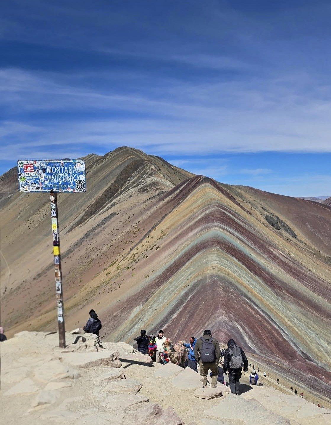
Walking starts at the Phulawasipata parking area at about 4,650 m and climbs roughly 400 to 600 m to a viewpoint catalogued at 5,036 m (16,522 ft). These pages cover the two road routes from Cusco, the hours when the mineral bands actually show colour, and which departure suits the shape of your trip.
Seven ways to reach the Vinicunca viewpoint are compared on this site, from early group departures to private vehicles, quad bikes and a two-day pairing with Machu Picchu.
The mountain straddles two districts and two provinces southeast of Cusco. The walk is short on the map and slow in the air.
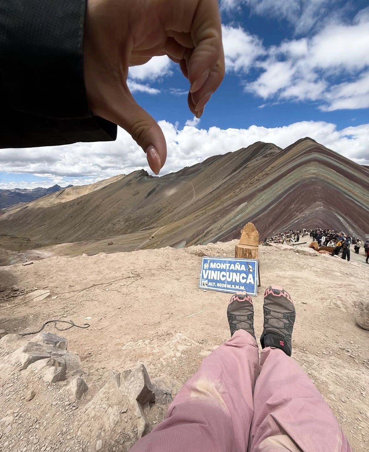
Set in the Vilcanota range, Vinicunca sits on the boundary of Cusipata district in Quispicanchi province and Pitumarca district in Canchis, a little over 100 kilometres southeast of Cusco. Its officially catalogued altitude is 5,036 m (16,522 ft), while the Cusipata entry-registration platform and Peru's state news agency both put the site's highest point at 5,200 m within the Ausangate massif. The shortest standard approach is about a two-hour drive from the city followed by a walk of roughly 5 km. The Cusipata-Phulawasipata route totals 109 km from Cusco.
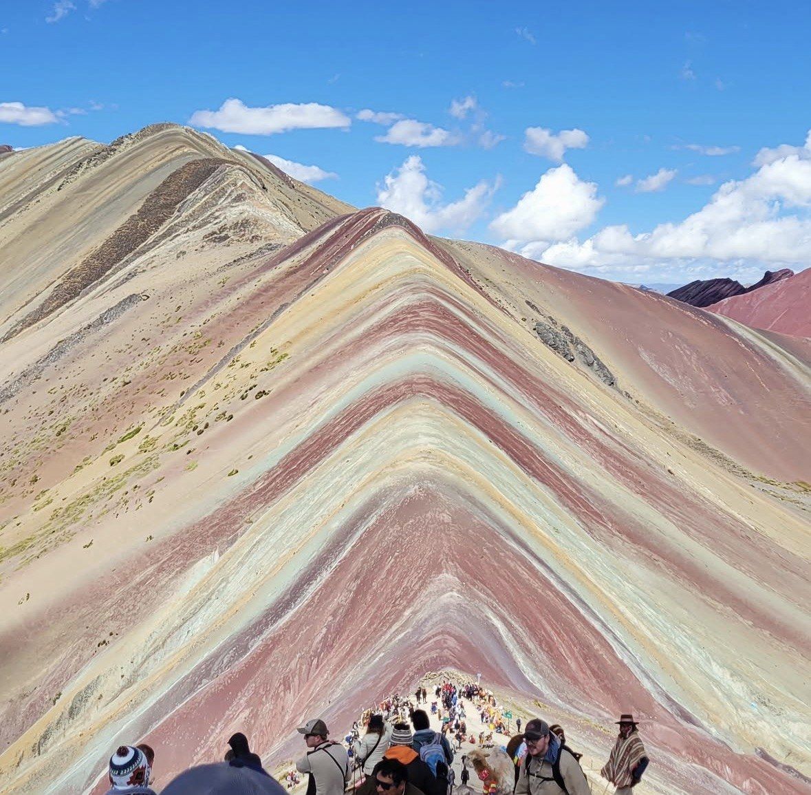
Water that once covered the area laid down the coloured sediments, dating from the Tertiary and Quaternary, roughly two million years ago, before tectonic movement lifted them into mountains. Mineral oxidation driven by humidity, plus erosion that stripped the covering layers, produced the bands. Glacier caps hid them until the ice melted away by around 2013, and mass tourism followed in the mid-2010s. A metallic mining concession of about 400 hectares covering the whole mountain was granted in March 2018, renounced in May 2018 after protests, and the Ausangate Regional Conservation Area was created in 2019.
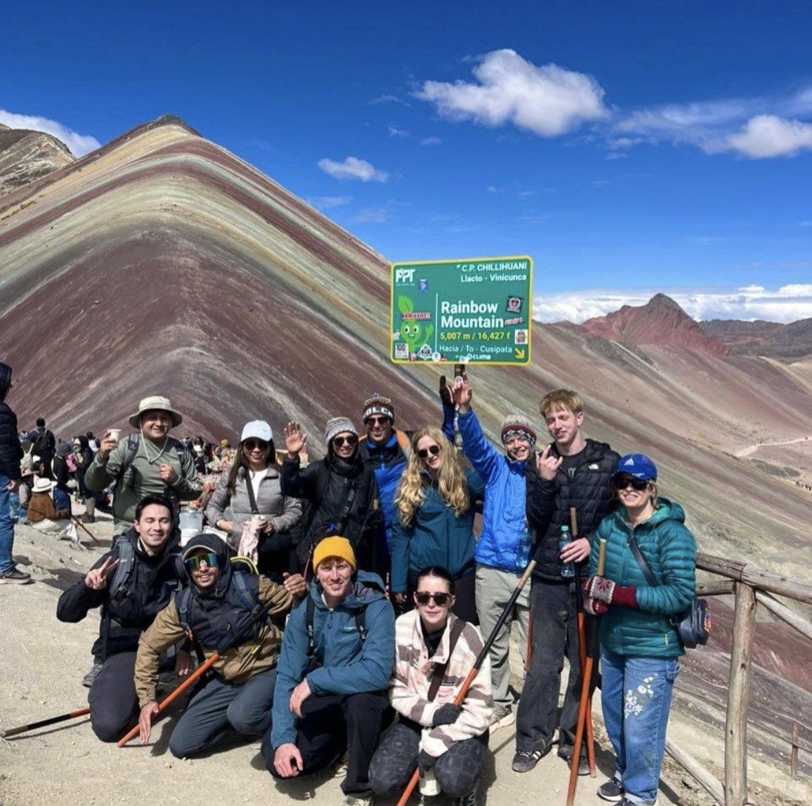
You cover the route on foot. The round trip from the trailhead to the viewpoint is 6-7 km (3.7-4.3 miles): allow 2-3 hours up and 1.5-2 hours down, with Peru's state agency putting the ascent at 90 to 120 minutes. Colour is strongest between 5 and 10 in the morning, and foot traffic peaks between 9:30 am and midday when the standard Cusco buses converge. High season brings up to 1,500 visitors a day, low season around 600. The last steep section and the staircase are walked, whatever else you ride.
▲
Catalogued altitude5,036 m (16,522 ft)
●
Trailhead (Phulawasipata)about 4,650 m
↗
Round trip on foot6-7 km (3.7-4.3 miles)
◷
Ascent time90 to 120 minutes
■
Cusipata route from Cusco109 km
◆
Dry windowMay to October
▲
5,036 m
Two altitudes, both published
Official catalogues give 5,036 m (16,522 ft) above sea level. The Cusipata entry-registration platform and Peru's state news agency both put the site's highest point at 5,200 m, inside the Ausangate massif of the Vilcanota range. Expect to see either number quoted.
↗
400-600 m
The climb from the car park
On the Cusipata route you park and start walking at Phulawasipata at about 4,650 m, then climb roughly 400 to 600 m to the viewpoint. The distance is small; the thin air is what slows people down.
■
109 km
Cusipata-Phulawasipata route
That route totals 109 km from Cusco and includes a 7 km round-trip hike of about three hours. The Pitumarca approach takes about three hours by car or tour bus, passing Andahuaylillas, Quiquijana and Checacupe, with the walk starting in the community of Qheshiuno.
◷
5-10 am
When the bands show best
Colours are most vivid between 5 and 10 in the morning. Foot traffic at the viewpoints peaks between 9:30 am and midday, when the standard Cusco departures all arrive together. The 08 am tours here are built around that gap.
●
1,500
Visitors a day in high season
High season from May to October brings up to 1,500 visitors a day, against around 600 in low season; Peru's state agency reports up to 2,000 a day since the site opened. Vinicunca is the second most visited destination in the Cusco region after Machu Picchu.
◆
2013
The year the ice finished melting
Glacier caps covered the stripes for many years and the ice had melted away by around 2013, exposing the bare coloured strata to weather. Mass tourism arrived in the mid-2010s, and Palccoyo only opened to visitors in 2018.
↗
The walk to the main viewpoint
A 6-7 km (3.7-4.3 miles) round trip from the trailhead, 2-3 hours up and 1.5-2 hours down. Operators rank the round-trip hiking at 3-4 hours for Vinicunca, against 2-3 hours at Palccoyo and 1-2 at Pallay Punchu.
◆
The Red Valley add-on
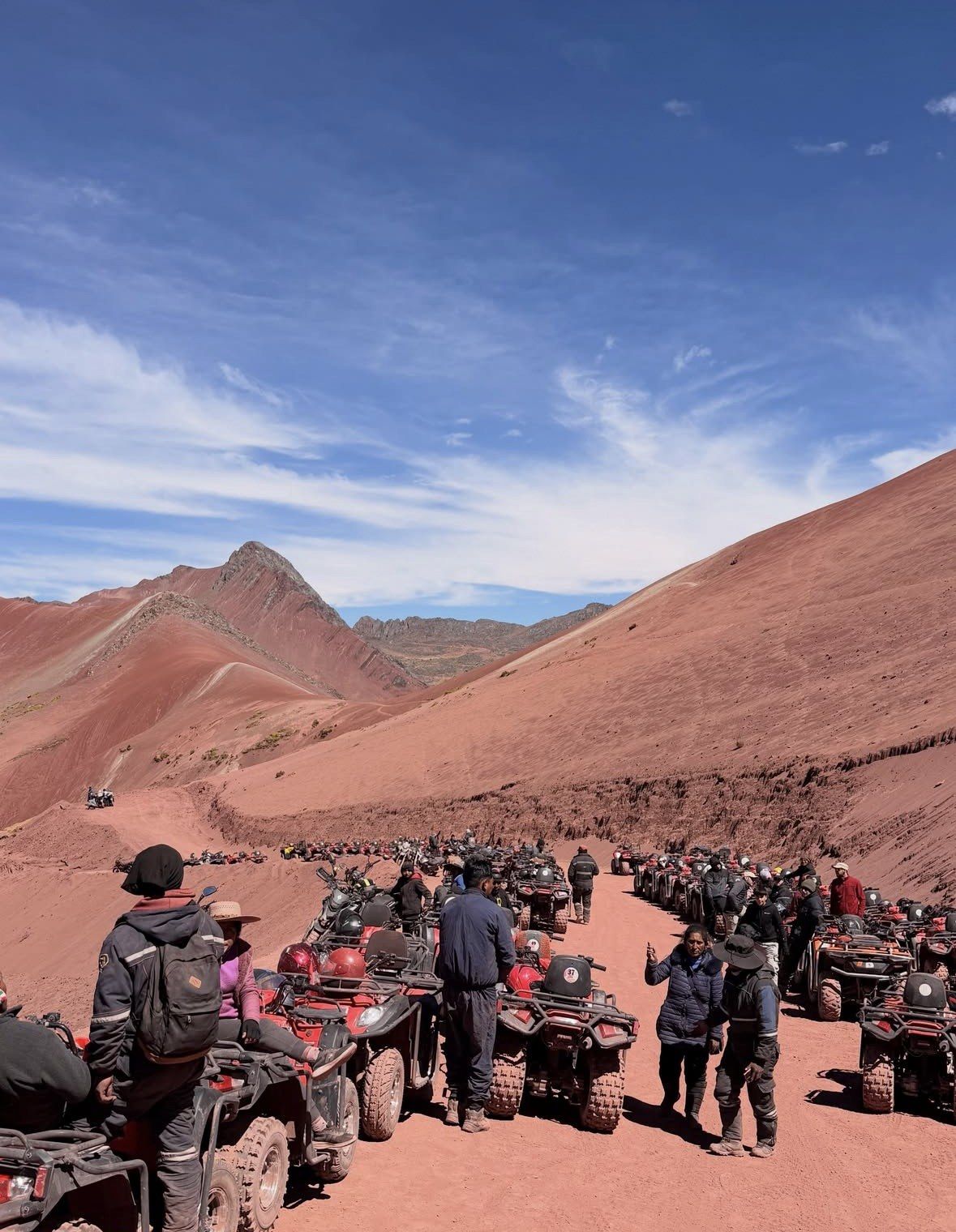
Next to Vinicunca sits the Red Valley viewpoint, handled as a separate entrance. It is written into the ATV itinerary, stays optional on the Premium day trip and on the cheapest full-day departure, and is not part of every tour here.
●
Quad bikes from Cusipata
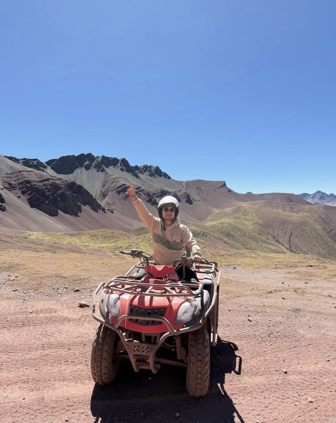
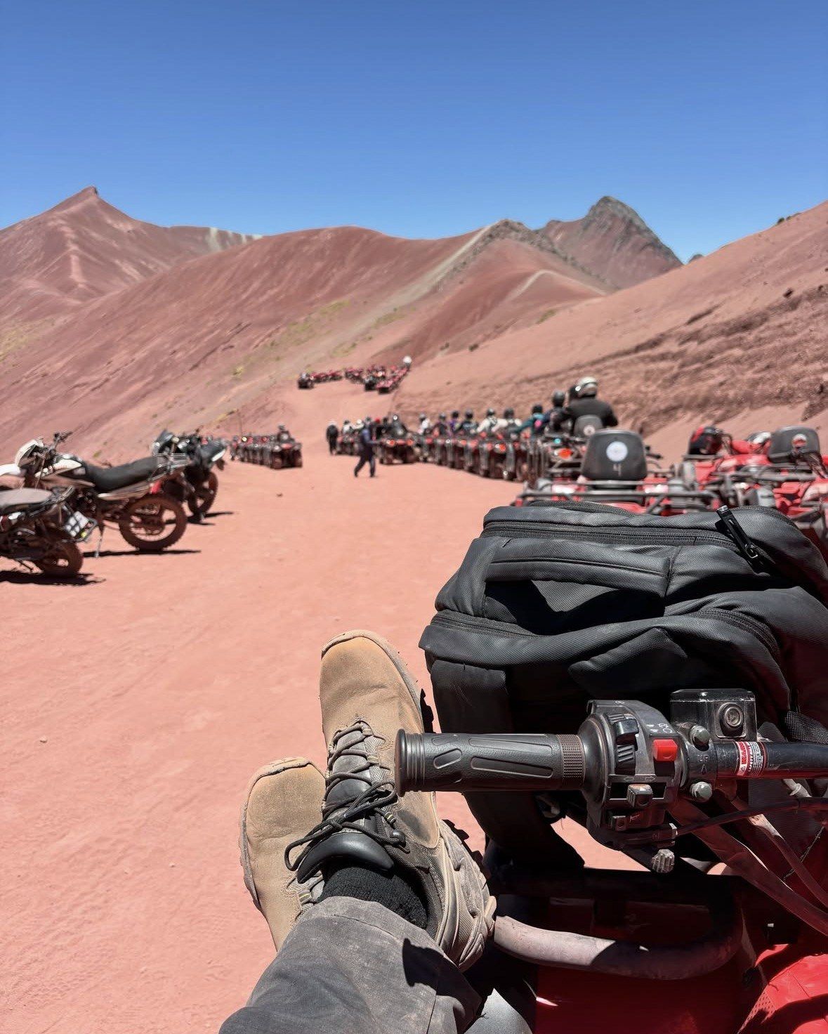
Quad bikes, safety equipment, buffet breakfast and buffet lunch in Cusipata, oxygen and a first-aid kit come with the 13-hour ATV tour. It shortens the walking without removing it: the final steep section and staircase are on foot.
◷
Photography in the first hours
Plan the camera work for the 5 to 10 am window, when the oxidised bands are at their strongest. After 9:30 am the ridge fills up, which is the argument for either the small-hours pickup or the 08 am departure that arrives later.
■
Reading the mineral bands
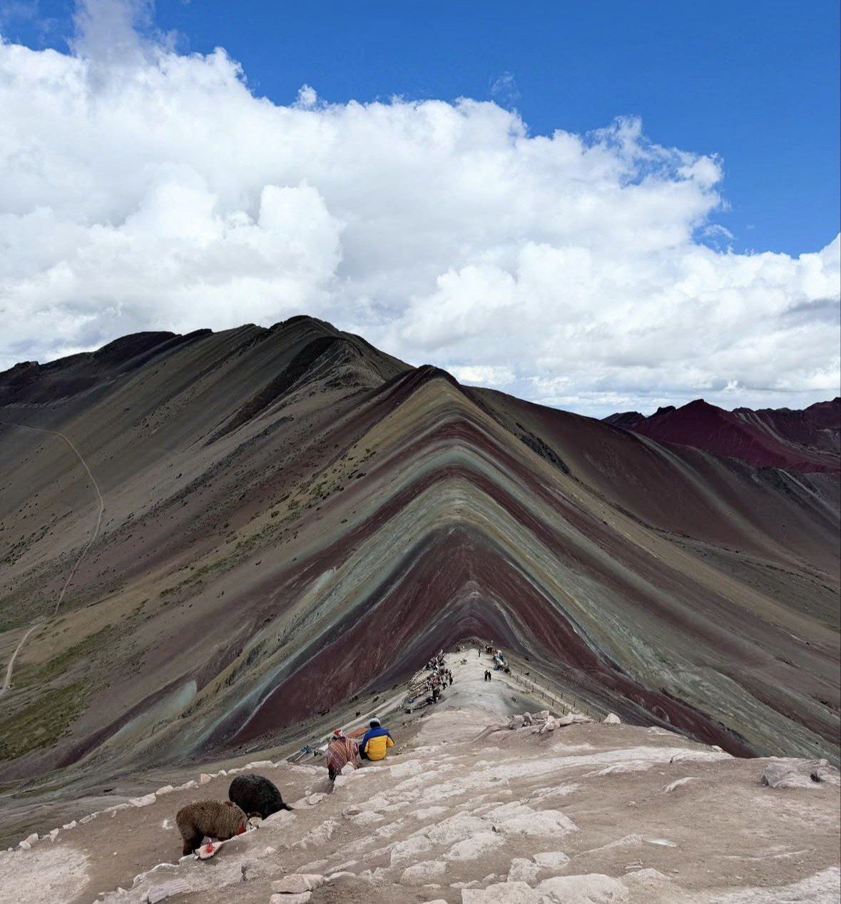
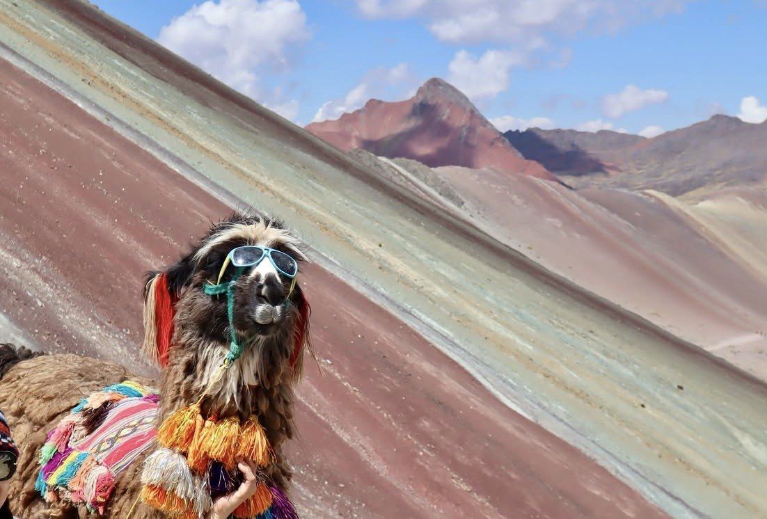
Red is iron-bearing claystone and clay of Upper Tertiary age, mustard-yellow is calcareous sandstone rich in sulphur minerals, green is phyllite and clay rich in ferromagnesian minerals rather than vegetation. White and cream are quartzose material, sandstone and marl rich in calcium carbonate.
▲
Palccoyo as the lower option
Palccoyo, in Combapata district, tops out at 4,971 m and needs a 45 to 60 minute walk to the summit. With Pallay Punchu it receives up to 70 visitors a day, against the crowds recorded at Vinicunca. It opened to tourism in 2018.
Rainbow Mountain (Vinicunca) tour versus the quieter coloured mountains
How the famous ridge stacks up against Palccoyo, Pallay Punchu and the region's other headline site.
Three coloured mountains sit within reach of Cusco, and they ask very different things of your legs and your lungs. A Rainbow Mountain (Vinicunca) tour means 400 to 600 m of climbing from a 4,650 m trailhead and a round trip of 3-4 hours on foot. Palccoyo and Pallay Punchu are shorter and far emptier. Machu Picchu is included here because it sits nearly 1,000 m lower than Cusco, which changes where it belongs in your week.
Crowds
Price
Best For
What Sets It Apart
★ Rainbow Mountain (Vinicunca)
Up to 1,500 a day in high season, around 600 in low; peak between 9:30 am and midday
Day tours here from $22 to $149; two-day Machu Picchu pairing from $795
Walkers with 48 hours or more at Cusco altitude behind them
Catalogued at 5,036 m (16,522 ft), second most visited destination in the Cusco region
Palccoyo
Palccoyo and Pallay Punchu together receive up to 70 visitors a day
Not among the tours listed on this site
Anyone under-acclimatised, families with children, short walkers
Tops out at 4,971 m with a 45 to 60 minute walk to the summit; opened to tourism in 2018
Pallay Punchu
Lowest foot traffic of the three coloured mountains
Operator day tours quoted from $120 per person
Travellers who accept a roughly four-hour drive for a 1 to 2 hour walk
Rises above 4,700 m, worked between about 4,700 and 4,900 m, with close to 250 million years of geological formation
Machu Picchu
2026 daily capacity of 4,500 in regular season and 5,600 in high season
Official entry ~$19 (S/64) general on promotional routes, ~$33 (S/112) on routes 1-A, 3-A and 3-C
Days when you are still acclimatising and want altitude relief
Sits at 2,430 m (7,970 ft), with timed-slot entry on three circuits containing ten routes since 1 June 2024
Choose a Rainbow Mountain (Vinicunca) tour when you want the full seven-band ridge and have the acclimatisation to earn it: 6-7 km (3.7-4.3 miles) round trip from 4,650 m, finishing on a staircase that no horse or quad reaches. Palccoyo delivers coloured slopes for 45 to 60 minutes of walking at 4,971 m, and Pallay Punchu adds a far older rock sequence with almost nobody on it.
Practical info
Rainbow Mountain (Vinicunca) Everything You Need to Know
Five practical topics worth settling before the small-hours pickup.
Getting from Cusco to the trailhead
Cusco is the starting point for every departure here. The shortest standard approach is about a two-hour drive followed by a walk of about 5 km; the Cusipata-Phulawasipata route totals 109 km from the city and ends at a parking area around 4,650 m. The Pitumarca approach takes roughly three hours by car or tour bus, passing Andahuaylillas, Quiquijana and Checacupe, with the walk beginning in the community of Qheshiuno.
Pickups happen in the small hours, from about 3:00 to 4:30 am, with 4:00 am typical, and operators warn that the pickup window can move by 30 to 45 minutes depending on traffic. Standard days run about 12 to 14 hours door to door. The private 08 am departure compresses that to 10 hours. The ATV tour meets in the centre of the square, and the Premium day trip ends on Avenida El Sol in front of Qorikancha.
Hotel pickup in Cusco from about 3:00 to 4:30 am, 4:00 am typical
Operators warn the pickup window can shift by 30 to 45 minutes
Cusipata-Phulawasipata route: 109 km from Cusco, trailhead at about 4,650 m
Shortest standard approach: roughly two hours of driving plus a walk of about 5 km
Pitumarca approach: about three hours via Andahuaylillas, Quiquijana and Checacupe
On the Pitumarca side the walk starts in the community of Qheshiuno
Day length: 10 hours on the 08 am private departure, 12 to 14 hours on standard tours
The months that work and the months that do not
May to October is the dry window named by Peru's state news agency, and operators widen it to April through October with May to September as the best stretch for clear skies and colour. November to April brings rain and snow that can cover the bands and block access, and road travel to the trailhead slows noticeably in those months. In February 2026 authorities evaluated a temporary suspension after heavy rain and snowfall damaged access bridges.
Rainfall at Cusco is sharply seasonal: 153.4 mm in January against 3.3 mm in June, with 19.6 rain days in January and 1.0 in June, out of about 727.7 mm and 106.1 rain days a year. The trade-off is cold. Mean daily minima at Cusco airport, 3,249 m, fall to 1.2 °C in July and 1.9 °C in June, while wet-month minima stay near 7.6 to 8.0 °C. Daily maxima barely move, 20.3 °C in February to 22.3 °C in November.
May to October is the dry window named by Peru's state news agency
Operators widen it to April through October, with May to September ideal
November to April brings rain and snow that can cover the coloured bands
January records 153.4 mm of rain at Cusco against 3.3 mm in June
Rain days average 19.6 in January and 1.0 in June
Dry-season dawns are the cold ones: 1.2 °C mean minimum in July, 1.9 °C in June
In February 2026 a temporary suspension was under evaluation after bridge damage
What to carry above 4,650 m
Layers do the work here. Official reporting notes that at Vinicunca the air is thin, the sun is intense and temperatures can drop sharply, so sun protection and warm layers belong in the pack in every month of the year. Water matters more than usual: Peru's tourism board advises drinking constantly at altitude even without thirst. Bring the passport or document used when you booked, since tickets are issued against it.
Footwear should be worn in and grippy, because the final steep section and the staircase are walked whatever else you ride. Walking sticks are listed on several departures, including the cheapest full-day option and the budget group tour; bring your own if the product you choose does not include them. A blanket comes with the Premium day trip. Keep the daypack small, with gloves and a warm hat for pre-dawn starts in June and July.
Layers you can add and shed as the sun comes up over the ridge
High-factor sunscreen, sunglasses and a brimmed hat, in every month
Gloves and a warm hat for dry-season dawns
Plenty of water, carried from Cusco
Worn-in walking shoes with grip for the final steep section and staircase
Walking sticks if your chosen departure does not list them
The passport or ID used when booking
A small daypack; the Premium day trip supplies a blanket
Conduct on the mountain and in Cusco
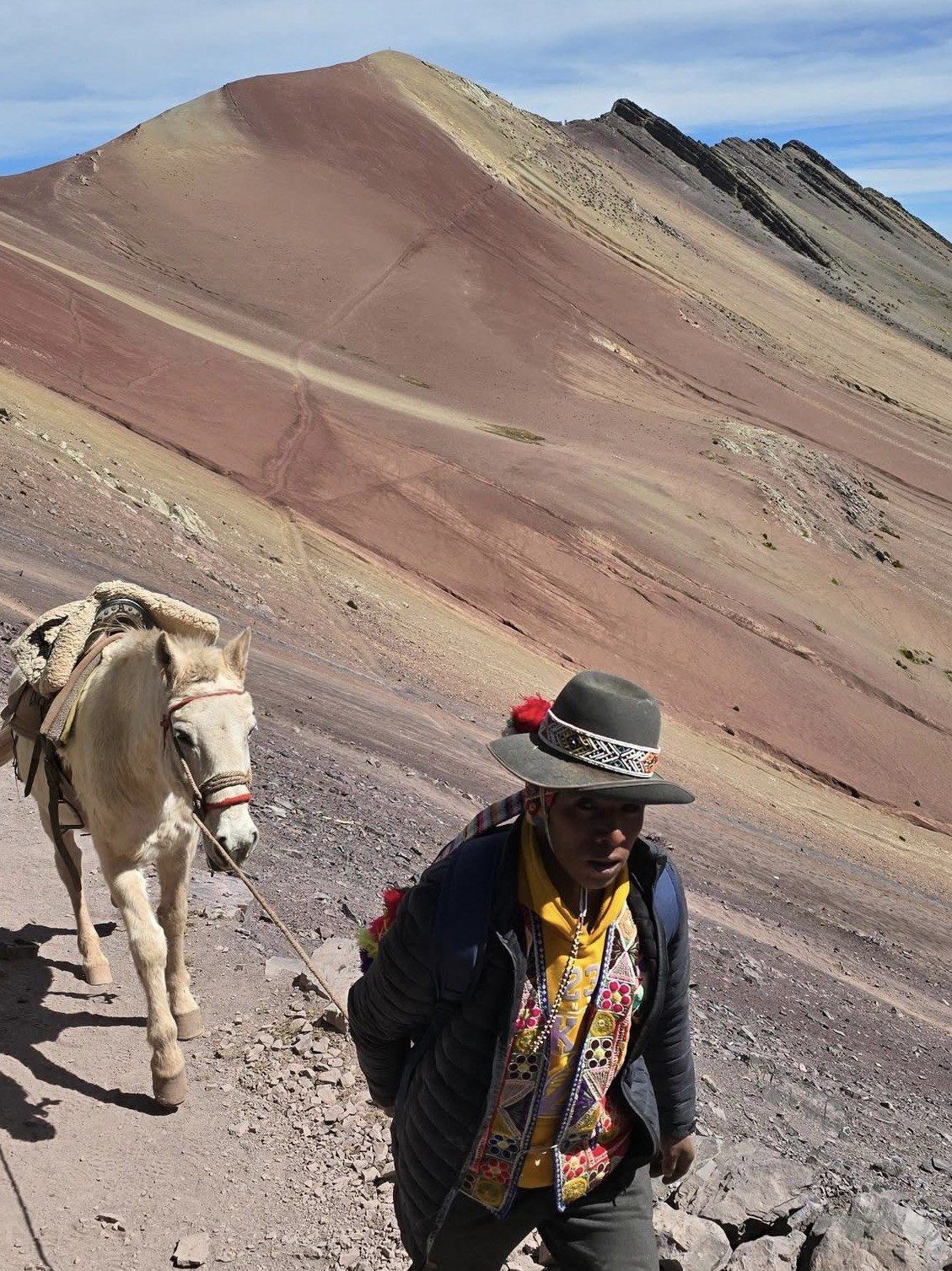
Access is controlled by the peasant communities: Chillihuani in Cusipata district, Quispicanchi, and Pampachiri in Pitumarca district, Canchis, whose members also work as guides and muleteers. The mountain straddles both districts and both provinces. On site, stay on the marked trail, respect the apachetas, which are sacred stone cairns, carry your rubbish out, do not fly drones without a permit and do not lean over edges for photographs.
Cusco's S/130 integral Tourist Ticket does not cover Vinicunca; it covers three circuits of city, Valle Sur and Sacred Valley sites. The Vinicunca entrance is included only on the Premium day trip among the tours listed here, so check that line in the comparison before you choose. Both access routes are reported to operate from 6:00 am to 5:00 pm, with one Cusco operator stating admission to the trail only until 2 pm; confirm timing with the operator on the day.
Stay on the marked trail at all times
Respect the apachetas, the sacred stone cairns
Carry your rubbish back down with you
No drones without a permit, and no leaning over edges for photos
Access is run by the Chillihuani and Pampachiri communities
The S/130 integral Boleto Turístico does not cover Vinicunca
Reported hours are 6:00 am to 5:00 pm on both routes; one operator cites trail admission until 2 pm
Altitude, acclimatisation and the warning signs
Cusco stands at 3,399 m (11,150 ft) and Vinicunca's viewpoint is far higher. The CDC advises two to three nights at around 2,450 to 2,750 m before going higher, no more than about 500 m of extra sleeping altitude per night above 3,000 m, an extra night for every 1,000 m gained, mild exercise only in the first 48 hours and no alcohol for 48 hours. Peru's tourism board calls acclimatising essential before attempting the mountain.
Headache is the cardinal symptom of acute mountain sickness, usually with at least one of anorexia, dizziness, fatigue, nausea or occasional vomiting, typically starting 2 to 12 hours after ascent. Red flags for cerebral oedema are altered mental status, ataxia, confusion and drowsiness; for pulmonary oedema, breathlessness at rest, respiratory distress and bloody sputum. Never ascend to sleep higher with symptoms, and descend if they worsen, with improvement usual after 300 m or more.
Do not schedule the mountain for your first day in Cusco: mild exercise only for 48 hours
No alcohol for the first 48 hours at altitude
Easy first day, slow walking, constant water and light meals, as Peru's tourism board advises
Headache plus nausea, dizziness or fatigue 2 to 12 hours after ascent means AMS
Red flags: ataxia, confusion, drowsiness, breathlessness at rest, bloody sputum
Descend if symptoms worsen; AMS usually improves after 300 m or more of descent
Not recommended for children under 10, and the site is not wheelchair accessible
Location
Find Rainbow Mountain (Vinicunca)
The Phulawasipata trail control point lies in Cusipata district, Quispicanchi province, Cusco Region, Peru, with the mountain also bordering Pitumarca district in Canchis province; there is no official visitor centre or published postal address at the entrance.
Plan your visit
Practical information for Rainbow Mountain (Vinicunca)
Altitude, seasons, trail distances, routes from Cusco and the nearby coloured mountains, in short pages you can read before the 4 am pickup.
Straight answers on altitude, timing, seasons and which departure suits you before you commit to a day at 5,000 m.
The distances are short and the air is what makes it difficult. On the Cusipata side you start walking at the Phulawasipata parking area at about 4,650 m and climb roughly 400 to 600 m, with a round trip of 6 to 7 km (3.7 to 4.3 miles). Allow 2 to 3 hours up and 1.5 to 2 hours down; Peru's state news agency puts the ascent at 90 to 120 minutes. The final steep section ends on a staircase that has to be walked, so plan for the climb rather than hoping to avoid it.
Do not schedule this for your first day in the Andes. Cusco sits at 3,399 m (11,150 ft) and the CDC advises two to three nights at around 2,450 to 2,750 m before going higher, no more than about 500 m of extra sleeping altitude per night above 3,000 m, and an additional night for every 1,000 m gained. The CDC also recommends mild exercise only during the first 48 hours at altitude and no alcohol in that window. Peru's tourism board says acclimatising is essential before attempting Vinicunca and suggests some cardiovascular training in the days beforehand.
Colour reads strongest between 5 and 10 in the morning, and foot traffic at the viewpoints peaks between 9:30 am and midday when the standard Cusco buses converge. Most day trips collect guests from their hotel in the small hours, with pickups from about 3:00 to 4:30 am and 4:00 am typical; operators warn the pickup can shift by 30 to 45 minutes, and the whole day runs about 12 to 14 hours. If you would rather walk after that morning wave has cleared, the private tour from $149 leaves at 08 am and is the shortest day on this site at 10 hours. The $85 tour lets you choose between the 4 am start with breakfast and lunch or the 8 am start with snacks and lunch.
May to October is the window Peru's state news agency names, and operators widen it to April to October with May through September as the clearest. November to April brings rain and snow that can cover the coloured bands, and road travel to the trailhead is significantly slower in the wet season. The contrast at Cusco airport is stark: 153.4 mm of rain in January against 3.3 mm in June, and 19.6 rain days in January against 1.0 in June. February is the month to treat with most caution, since in February 2026 authorities were evaluating a temporary suspension of visits after heavy rain and snowfall.
Go for Vinicunca if you are properly acclimatised, since it is the one worth the effort: the second most visited destination in the Cusco region after Machu Picchu, with up to 1,500 visitors a day in high season and around 600 in low season. If 400 to 600 m of climbing at that altitude sounds like too much, Palccoyo tops out at 4,971 m with a 45 to 60 minute walk to the summit and opened to tourism in 2018, while Pallay Punchu rises above 4,700 m with 45 minutes to an hour on foot and close to 250 million years of geological formation on show. Operators rank round-trip hiking at 3 to 4 hours for Vinicunca, 2 to 3 hours for Palccoyo and 1 to 2 hours for Pallay Punchu. Palccoyo and Pallay Punchu together receive up to 70 tourists a day, so crowds are a different proposition entirely.
For the lowest listed starting price on the classic full day, the tour from $22 runs 12 hours with hotel pickup in the city centre, breakfast and lunch, walking sticks, oxygen assistance and a guide in English and Spanish, rated 4.9 (4062 reviews). Couples and families who want their own pace at the viewpoint should look at the private 08 am departure from $149, 10 hours, 5.0 (342 reviews), with private vehicle, a la carte lunch and oxygen available. Vegans and budget-minded walkers are covered by the group tour from $30, 12 hours, 5.0 (178 reviews), which lists a vegan option alongside breakfast, walking sticks and emergency oxygen. If you want to shorten the walking and add the Red Valley, the ATV tour from $90 runs 13 hours, 4.7 (110 reviews), with quad bikes, safety equipment and buffet meals in Cusipata.
No. The S/130 integral version of the Cusco Tourist Ticket covers only three circuits of city, Valle Sur and Sacred Valley sites, and the coloured mountain is not among them. Access is controlled by the peasant communities of Chillihuani in Cusipata district and Pampachiri in Pitumarca district, whose members also work as guides and muleteers. The cleanest way to avoid loose ends on the day is the Premium day trip from $39, 12 hours, 4.9 (2455 reviews), the only tour here that includes the Vinicunca and Cusipata entrance, with the Red Valley entrance staying optional.
Layers and serious sun protection in every month. The air is thin, the sun is intense and temperatures can drop sharply within the same hour, which is why a fleece plus a windproof shell beats one heavy jacket. Dry-season dawns are the cold ones: at Cusco airport (3,249 m) mean daily minima fall to 1.2 °C in July and 1.9 °C in June, while wet-month minima stay near 7.6 to 8.0 °C and daytime maxima barely move, from 20.3 °C in February to 22.3 °C in November. Add water, a hat, high-factor sunscreen and lip balm, and keep drinking even when you are not thirsty.
Closures happen only in exceptional cases, for natural disasters or social disruption; otherwise Vinicunca is open every day of the year. In February 2026 authorities evaluated a temporary suspension after heavy rain and snowfall, with damage reported to access bridges; any closure is decided jointly by the Pitumarca and Cusipata municipalities together with the regional tourism office. There is no official visitor centre, published postal address or official telephone for the site, so the operator you travel with is your channel for status. Reconfirm the night before and check the forecast rather than discovering the problem after a drive of two to three hours from Cusco.
Headache is the cardinal symptom of acute mountain sickness, usually with at least one of loss of appetite, dizziness, fatigue, nausea or occasional vomiting, and it typically starts 2 to 12 hours after arriving or ascending. Never go higher to sleep while you have symptoms, and descend if they worsen despite rest; the CDC notes that acute mountain sickness usually improves after 300 m or more of descent. Altered mental status, unsteadiness, confusion or drowsiness, and breathlessness at rest or respiratory distress with bloody sputum are red flags that need immediate descent and medical help. The tours listed here carry oxygen and first-aid kits as stated per product, and reputable operators send a first-aid-trained guide with bottled oxygen.
Set the departure time for your Vinicunca day first.
From glacier cap to Peru's second most visited mountain
Glaciers hid the coloured strata until the ice melted away by around 2013, and mass tourism followed in the mid-2010s. A 400-hectare mining concession granted in March 2018 was renounced that May after protests, and the Ausangate Regional Conservation Area was created in 2019.